
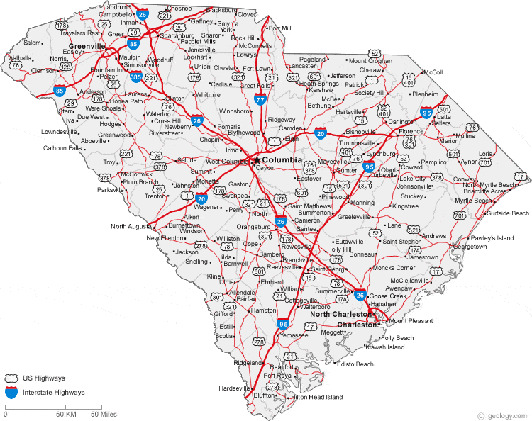
My home state, South Carolina, is really quite small. Of the fifty states, we are number 40, covering a little over 32,000 square miles. Alaska could hold almost 21 South Carolinas. The distance across the state is 260 miles and in less than 4 hours a person can drive from the mountains to the ocean. An airliner can cross the state in about 30 minutes, and a small private plane can get a good scenic overview in about 90 minutes. There are a lot of driving tours of our fair state, and from our capitol city Columbia, you can take day trips and see most of the state in less than a week. The Palmetto Trail, a 380 mile walking trail, takes a person from the mountains across the western edge of the state, through the Piedmont, Midlands and Fall Line, Pee Dee, and Coastal Plain to the Atlantic Ocean. It is very scenic, going through forests, by rivers, swamps, lakes, and through a couple of cities. I have walked it, section by section, over a couple of years.
None of these methods- flying, driving, walking the nature trails- let you see the real treasures of the state. South Carolina’s treasures lie in its people and the communities they form. The towns, small and large, are places where neighbors get to know each other, speak on friendly terms, help each other out, worship, work, and play together. You cannot get to know them at 600 miles per hour from 32,000 feet in the air, or driving past at 70 on an interstate. Nor can you do that walking on the beautiful trails, because there are not many people on the same section you are on (which is one o the advantages of walking them if you want to be alone). And though you cannot get to know the people and towns intimately by just walking through them, that is what I plan to do.
My grandfather, C. B. Smith, helped to raise me when I was small. He used to say that people saw the world through a car window, and that wasn’t good enough. He loved to walk. He walked to work home in Inman to his newspaper, The Inman Times. He walked to Dan’s Foodland, the Rexall Drug store, Castle’s Five and Dime, Fox’s Barber Shop. Along the way he talked to the people, shared stories with them, kept up with the needs of the community. One of my earliest memories is of the two of us walking to the Inman Theatre to see Old Yeller, my first movie, and him handing me a handkerchief to wipe the tears from my eyes as we walked home.
My grandfather had nothing against automobiles, he just thought that if you wanted to get to know a person or a place, walking was the best way. I walked the Palmetto Trail, and I can tell you a lot about the views, but I cannot tell you much about any people except the few who joined me on sections of the trail.
My plan is to walk down US Highway 176, from the North Carolina/South Carolina border at Tryon, NC, though the center of the state, to Goose Creek, where it ends. From there I will work my way down to Folly Beach, “The Edge of America.” I plan to walk it in short sections, around 7 miles each time, taking the time to get to know the places and the people I meet. It is 219 miles from Tryon to Goose Creek and about another 30 to Folly Beach, so it should take me from 35 to 40 walking days to complete the walk.
I invite you to join me, either by keeping up with my posts here, or even joining me for a few miles as I pass through your area. If you would like to be on my mailing list, keeping you posted for future walk dates and online posts, email me at mbh05281953@gmail.com. In any case, I hope to see you out on the road.
Happy trails!
Mike

A very worthy endeavor, Mike! Thank you for sharing it with us. You connect so well.
LikeLike
Thanks! I’ll do my best!
LikeLike
Our state may be small, but it is also, as the fund-raisers on SC Public Radio used to say, “vastly triangular.”
LikeLike
“Very triangular.” I love it!
LikeLike